BL chairman Dan is also the chairman of the British Orienteering Map Advisory Group (MAG). With not much event news at the moment, it seemed a good opportunity to find out a more about this group, and his role.
Can you give us a quick outline of what the MAG does?
The official brief of the group is advising the Events & Competitions Committee and Rules Group on all matters related to mapping, liaising with IOF Map Commission on mapping matters and providing technical advice, guidance and support [to clubs and mappers] on all mapping matters.
The group has seven members, all experienced mappers (some professional and some amateur). We don’t have meetings – everything is done by email. Typically, a query comes to me, and I circulate it and then try to summarise the replies, which isn’t always easy as opinions can differ widely.
How and why did you join the group?
I just offered. There was a request for new members in the BO Newsletter and having done a lot of mapping over the last 10 years, including all the new digital aspects of it I thought it would be interesting (which it is). About a year ago the previous chairman wanted to retire and with no one else rushing to take over I volunteered.
Can you tell us a bit more about the sort of queries you deal with?
They are very varied so I’ll give you some recent examples:
- Should power lines and posts/pylons always be shown?
- To what level of detail should buildings in olive green (out of bounds) be shown on urban maps and should you mark uncrossable boundaries round the olive green?
- How should mountain bike tracks be shown?
- If 1:7500 scale maps are used for the longer courses, is it necessary to provide 1:5000 for older competitors?
Sometimes it seems the queries come to MAG as a way of resolving disputes among club members!
You mentioned liaising with the IOF Map Commission. What does that involve?
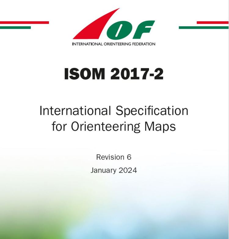
IOF are currently seeking opinions from all countries so that they can produce a new version of the official specification (ISOM) in 2030(!). There are no plans for new symbols, it’s more about trying to make the most of new printing technology to improve colours and legibility. It’s been interesting to see replies from all over the world, covering a vast variety of terrain types, many of which just don’t exist here.
IOF are also in the process of creating a mapping standard for indoor events. As you would imagine, representation of stairs is the biggest issue.
You were also a judge for last year’s British Orienteering Mapping Awards. Did that mean visiting all the areas to assess the maps?
No, the awards are based just on the cartography – how well the maps adhere to the standards and how easy to read they are. I was one of three judges; each of us allocated points for various aspects and fortunately we all agreed on the winners. There are separate awards for amateur maps, professional maps and urban maps.
Has being a member of MAG changed the way you map?
Maybe. I think I’m increasingly aware that legibility is often more important than strict accuracy. There’s no point in a map bring “perfect” is no one can read it when running.
Any thoughts about the future of MAG and mapping in general?
There seems to be a trend towards larger scale maps; more and more events use 1:5000 maps, at least for older competitors. I’m totally in favour of making the sport accessible for everyone, but if mappers think “it’s 1:5000 so I can map extra detail” that doesn’t help. Oldies will then start needing 1:4000 maps. MAG should certainly discourage “over-mapping”.
