Tuesday 21st April 2026
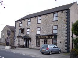
Location:
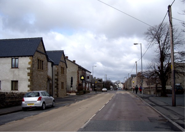
King’s Arms on the west side of the A6 through Shap.
what3words: ///lamp.meatballs.marsh
Various car parks are available in the village – the main car park is next to the bowling club, there are also ones at the library and the swimming pool. Lots of on-street parking available as well.
Start times:
1800-1900. Sunset 2030ish.
Courses:
Long and Short. Short stays within the village, the Long also uses some footpaths in the nearby fields. Long 4.2km crow flies (approx 6.0km to cover). Short 2.6km (approx 3.7km). The Long and Short have a lot in common but the extra is at the start of the Long, and they have a different start so unfortunately you can’t start the Long then switch.
MapRun:
We will be using MapRun “CheckSites”, although as it’s only a bit of fun you can just run using the map and not use MapRun if you wish. (See below for more information about MapRun)
Under 16s:
U16s must be accompanied by a responsible adult. By all means run in pairs/groups if you wish.
Dogs:
No dogs on courses please, it’s lambing time.
Entries:
Email alanmtbo@gmail.com to reserve a map by noon on Monday 20th April.Let me know if you want a Long or Short. £2 payable on the night for map printing costs.
Contact:
If you have any questions or need more information, email alanmtbo@gmail.com or bldanandkaren@gmail.com
MapRun
For anyone who hasn’t come across MapRun, it’s a form of orienteering that uses smart phones and GPS for punching and timing, avoiding the need for control markers and SI boxes. Full instructions and help will be available on the night. It would help greatly if you download the free MapRun app to your phone in advance, but even this can be done on the night if necessary. There is some more information on MapRun on the BL website here. [The latest version of MapRun is 7.9.0]